 |
| Results of soil liquefaction after earthquake in Christchurch, February 23, 2011 (source: www.nzraw.co.nz) |
The neighborhoods that now sit in the liquefaction zone of the 2010-2011 earthquakes in Christchurch, New Zealand will not be rebuilt. Glenn Stewart, PhD., writing for The Nature of Cities blog, write that the Avon-Otakaro ecological and recreational park has been proposed to replace this "residential 'red zone'."
I don't know if the properties in Christchurch's "red zone" are part of a buy out program but the Nashville, Tennessee properties that were flooded in May 2010 were covered by the Metro Water Services Floodplain Buy-Out Program. Tim Netsch, assistant director of the Nashville Metropolitan Board of Parks and Recreation, was a participant in the Storms and Climate Change session of the 2012 International Urban Parks Conference held in NYC. According to Mr. Netsch, 15 inches of rain fell in 36 hours (or 420 billion gallons of water) which flooded 45,000 acres in Davidson County. Surprsingly, less than one-half of the flooded properties were inside the floodplain. The buy-out program was voluntary; 269 of 305 property owners participated. Also, 75% of the program's budget, or $40 million, was provided by FEMA.
 |
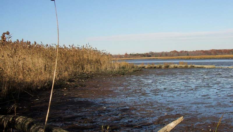
| Main Creek Wetland Restoration, Freshkills Park (source: NYC Parks) |
During the Q&A portion of the Storms and Climate session of the 2012 International Urban Parks Conference, NYC DEP Commissioner Carter Strickland mentioned that the standard is to capture 90% of water from a storm, where a storm is defined as a 1.2 inch rain event, but wondered about managing more frequent, intense storms. Commissioner Strickland said that cities could adapt, capture 100% of the storm (very expensive to do), or develop a hybrid approach. Existing green infrastructure in NYC include the Staten Island Bluebelt, NYCHA rain gardens, and right-of-way bioswales. The commissioner did not mention Freshkills Park in his remarks about storm-water management, but the park played a key role during Hurricane Sandy argued Michael Kimmelman. In his article for the New York Times, Kimmelman wrote that the park, a former 2200-acre landfill, "absorbed a critical part of the storm surge."
Commissioner Strickland also offered two exciting strategies to attenuate intensive flooding: create offshore wetlands and convert dead-end roads to parks. I wonder if Commissioner Strickland was inspired by Julia Howe's "Offshore Wetland Colonies" concept for the San Francisco Bay.
Community organizations, planners, elected officials, and academics are tackling issue of how and where to rebuild in the aftermath of Hurricane Sandy. Two events in January in NYC will bring many of these actors together.
---
Thursday, January 10, 2013, 7 p.m.
The Future of Zone A: New York Neighborhoods on the Frontline of Climate Change
Rose Auditorium, The Cooper Union
41 Cooper Square
Free
More information here
Saturday, January 12, 2013, 9 a.m. - 4 p.m.
MAS@The New School: The Road to Resilience: From the Ground Up - Policy, Planning and Process
Tishman Auditorium, Alvin Johnson/J. M. Kaplan Hall
66 West 12th Street
Free
More information here
---
By the way, water threats do not exist only from above (rainfall) and across (rising sea levels). Read Jessa Gamble's essay for at Last Word on Nothing about groundwater flooding in Oxford.
P.S. A photo of a NYCHA rain garden is available here.
Comments
Post a Comment
Thank you for commenting on this post!