An occasional series about the street tree research as well as the rules and regulations of street tree
planting, pruning, and removal in New York City. Other posts in the series are Young street tree mortality in New York City, Street tree planting rules in New York City, Street tree removal in New York City, and Street tree pruning rules in New York City.
Locke et al. (2010) developed a GIS-based model to predict the preferred locations for planting trees in New York City based on two types of data: need-based criteria (read: planting trees to address environmental and social challenges) and biophysical constraints. Their research -- Prioritizing Preferable Locations for Increasing Urban Tree Canopy in New York City -- was published in the recent issue of Cities and the Environment and the authors concluded that the model is applicable to other cities.
The abstract reads,
Locke et al. (2010) developed a GIS-based model to predict the preferred locations for planting trees in New York City based on two types of data: need-based criteria (read: planting trees to address environmental and social challenges) and biophysical constraints. Their research -- Prioritizing Preferable Locations for Increasing Urban Tree Canopy in New York City -- was published in the recent issue of Cities and the Environment and the authors concluded that the model is applicable to other cities.
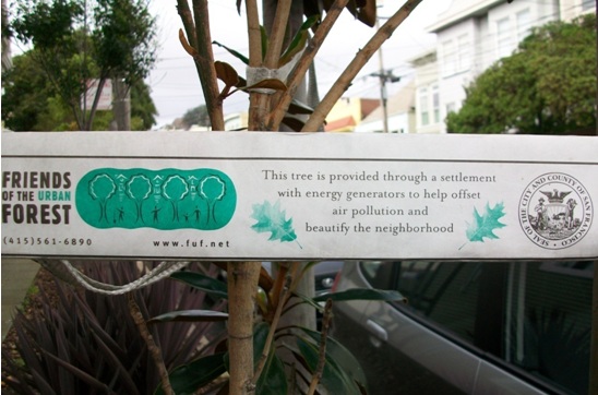 |
| Friends of the Urban Forest tree tag, Valley Street, San Francisco |
This paper presents a set of Geographic Information System (GIS) methods for identifying and prioritizing tree planting sites in urban environments. It uses an analytical approach created by a University of Vermont service-learning class called “GIS Analysis of New York City's Ecology” that was designed to provide research support to the MillionTreesNYC tree planting campaign. These methods prioritize tree planting sites based on need (whether or not trees can help address specific issues in the community) and suitability (biophysical constraints and planting partners’ existing programmatic goals). Criteria for suitability and need were based on input from three New York City tree-planting organizations. Customized spatial analysis tools and maps were created to show where each organization may contribute to increasing urban tree canopy (UTC) while also achieving their own programmatic goals. These methods and associated custom tools can help decision-makers optimize urban forestry investments with respect to biophysical and socioeconomic outcomes in a clear and accountable manner. Additionally, the framework described here may be used in other cities, can track spatial characteristics of urban ecosystems over time, and may enable further tool development for collaborative decisionmaking in urban natural resource management.Hat tip: the California ReLeaf blog.
Comments
Post a Comment
Thank you for commenting on this post!